The interactive map provides a simple way to look for disaster events. You can filter the events shown on the map by disaster type and date range. When you first see the map, it shows all disasters across all time periods.
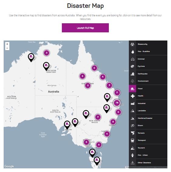
To turn a disaster category on or off, click on the relevant icon. If the icon has a purple colour, the category is turned on. A black background indicates the category is turned off.
To turn a disaster category on or off, click on the relevant icon. If the icon has a purple colour, the category is turned on. A black background indicates the category is turned off.
Using the Mapper on the Home Page
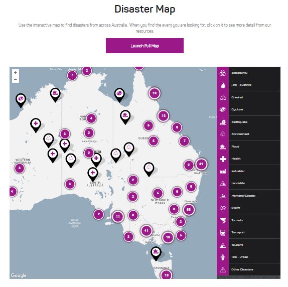
The Mapper on the Home page shows the same disasters as you will find on the full version of the mapper in the Disasters Tab, with the search limited to disaster category.
For full search capability, use the mapper on the Disaster Tab.
| Mapper on the Home page, with all disaster categories selected | Mapper on the Home page, with only the flood disaster category selected |
 |
 |
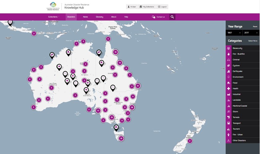
Using the Mapper on the Disaster tab
The Mapper on this page is an interactive map that will allow you to look for disasters based on location, category of disaster and the time that the disaster occurred.
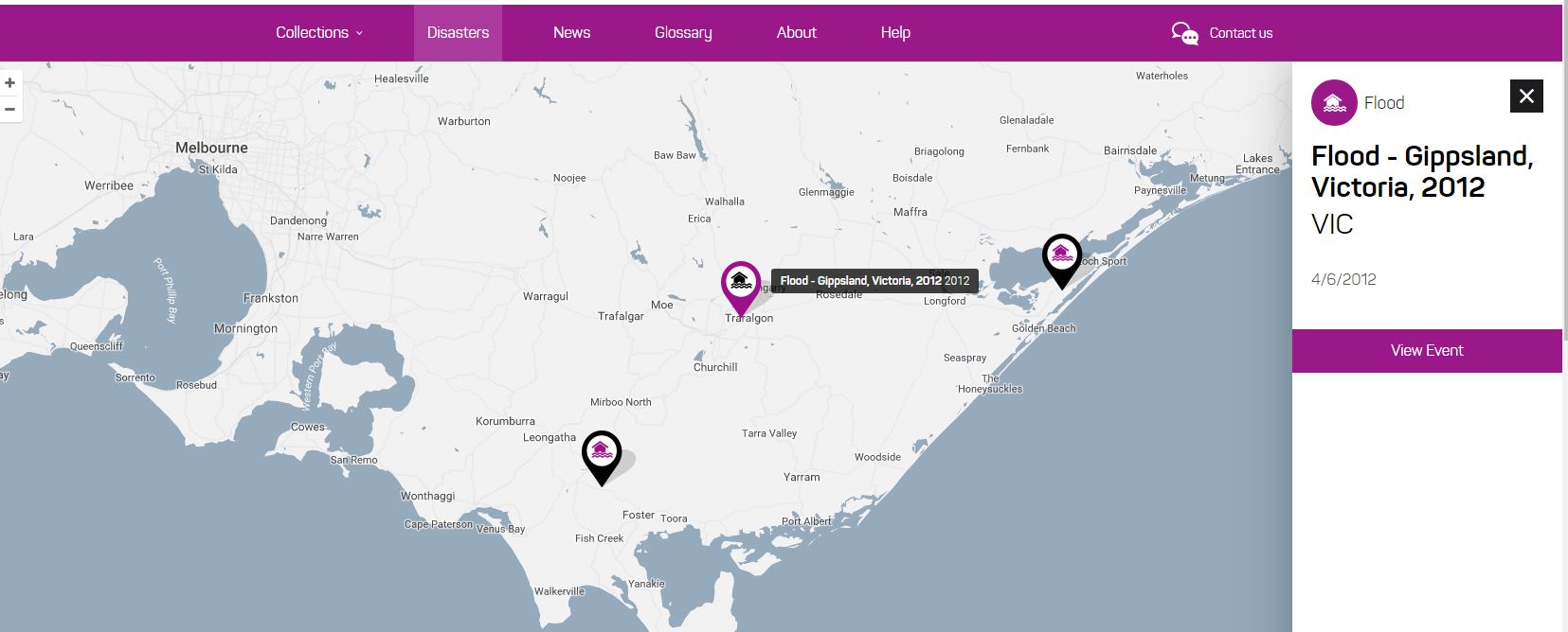
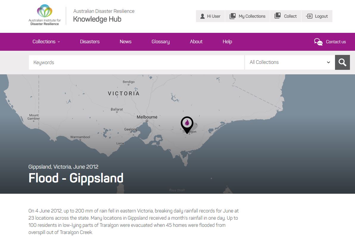
Finding disaster information
When you find a disaster you are interested in, click on the Icon. On the right hand side of the screen, you will find brief summary information on the event. Below that information, there is a 'View Event' button. Click on this button to go to the disaster record for more information.
| Mapper showing brief information on a chosen disaster | Disaster record for a specific event |
 |
 |